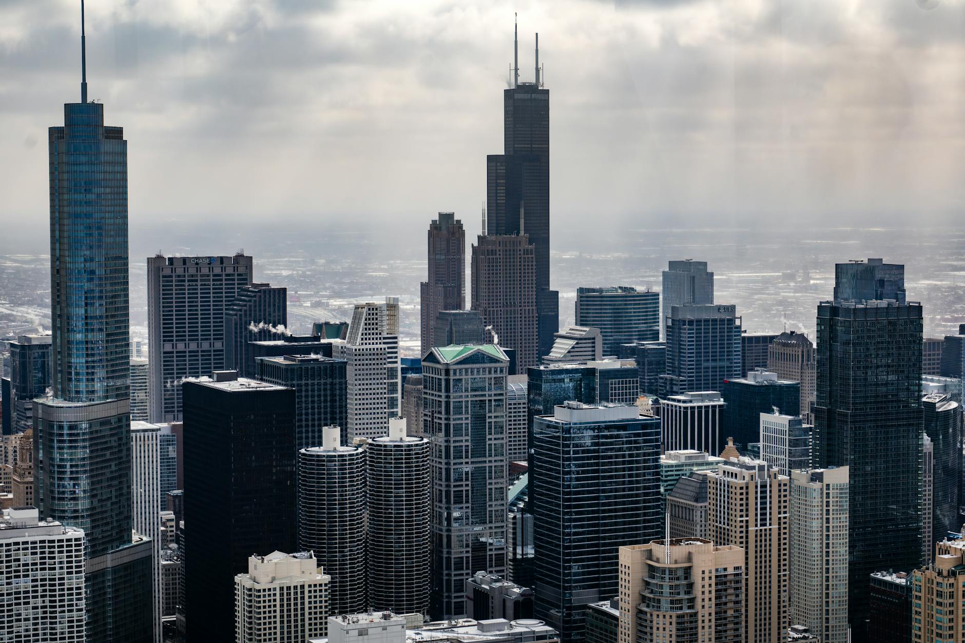
Chicago Faces Dangerous Cold Snap With 35-Below Wind Chills
Wind chills could drop to minus 35 degrees Friday, creating frostbite risk in 10 minutes. Extreme cold watch issued through early next week.
Chicago faces a dangerous cold snap this weekend with wind chills plunging to 35 degrees below zero Friday, creating conditions that can cause frostbite on exposed skin within 10 minutes.
The National Weather Service issued an extreme cold watch from late Thursday night through Friday morning. Actual air temperatures may not reach zero degrees, with Friday’s high expected to hit minus 5 degrees.
“We stay in the pattern basically lock until at least Tuesday of next week,” said Zachary Yack, a meteorologist with the National Weather Service.
The brutal cold arrives as Chicago enters the heart of winter, testing the city’s infrastructure and emergency response systems. Wind chills will remain between 15 and 25 degrees below zero through Saturday morning, offering little relief for residents.
Before the deep freeze hits, scattered snow showers will move across the Chicago area Wednesday evening, with accumulations up to one inch. Wind gusts may exceed 40 mph, creating low visibility and hazardous travel conditions.
The weather service recommends residents stay indoors if possible. Those who must venture outside should cover all exposed skin to prevent frostbite, which can occur in as little as 10 minutes under these conditions.
City officials typically open warming centers during extreme cold events, though specific locations have not yet been announced. The Chicago Department of Family and Support Services coordinates emergency shelter operations during dangerous weather conditions.
The frigid temperatures will test the city’s aging infrastructure, particularly the elevated train system that serves hundreds of thousands of daily commuters. The Chicago Transit Authority often implements service adjustments during extreme weather to prevent equipment failures.
Similar cold snaps have previously strained the electrical grid as residents increase heating usage. ComEd typically issues conservation requests during peak demand periods to maintain system reliability.
Businesses across the city may face difficult decisions about remaining open during the extreme cold, balancing employee safety with customer needs. Many outdoor construction projects will likely halt until temperatures moderate.
The cold pattern will persist through early next week before temperatures climb back to more seasonal levels. Yack said temperatures should return to the mid-20s by Tuesday, still cold but not dangerously so.
Chicago’s homeless population faces particular risks during extreme cold events. Outreach teams from the city and nonprofit organizations typically increase patrols to connect vulnerable individuals with emergency shelter.
Residents should prepare by checking heating systems, insulating pipes, and stocking emergency supplies including flashlights, batteries, and non-perishable food in case of power outages.
Pet owners must take extra precautions, as animals can suffer frostbite and hypothermia. Dogs should have limited outdoor exposure, and cats should be kept indoors entirely.
The extreme cold follows a relatively mild start to January, when temperatures reached the 40s during the first week of the month. The dramatic temperature swing reflects the volatile weather patterns common in Chicago winters.
While city services continue operating during extreme cold, residents should expect potential delays in garbage collection and other non-essential municipal functions. The Politics & Government team will monitor any emergency declarations from Mayor Brandon Johnson’s administration.
School districts across the Chicago area will likely monitor conditions closely, as extreme cold can trigger closure decisions based on student safety concerns during outdoor travel and bus waiting periods.
The National Weather Service will continue updating forecasts as the cold front approaches. Residents should monitor weather alerts and avoid unnecessary travel during the worst conditions Friday and Saturday.
Temperatures this extreme occur several times each winter in Chicago, but the combination of sustained cold and dangerous wind chills makes this weekend’s weather particularly hazardous.
City emergency management officials encourage residents to check on elderly neighbors and relatives, who face higher risks during extreme cold events.
The cold snap will affect the entire Chicago metropolitan area, with suburbs potentially seeing even lower wind chills due to less urban heat island effect.
Once the pattern breaks early next week, temperatures should gradually moderate toward more typical January levels, with highs in the upper 20s and low 30s expected by mid-week.