Chicago Area Braces for Temperature Drop and Possible Snow This Weekend
Chicago residents should prepare for a dramatic weather shift as temperatures plummet from Friday's unseasonable 65-degree warmth to potential snow conditions by Saturday evening, according to NBC 5 Storm Team forecasts.
Chicago residents should prepare for a dramatic weather shift as temperatures plummet from Friday’s unseasonable 65-degree warmth to potential snow conditions by Saturday evening, according to NBC 5 Storm Team forecasts.
The Chicago area experienced a stark contrast Friday, beginning with frost and below-freezing temperatures before dry air caused readings to climb nearly 40 degrees, NBC 5 Storm Team Meteorologist Kevin Jeanes explained.
Saturday will bring a return to winter-like conditions as a cold front moves through the region. Temperatures will drop from the 40s at midnight to the 30s by morning, with some areas potentially seeing readings as low as the upper 20s, according to the forecast.
Clouds will thicken before sunrise, creating overcast conditions throughout Saturday. While precipitation is expected, meteorologists note that some moisture may evaporate before reaching the ground.
Daytime temperatures Saturday will hover in the mid-30s, potentially reaching the 40s south of Interstate 80, according to Jeanes. Light rain may mix with other precipitation, but accumulating snow appears unlikely during afternoon hours when temperatures remain above freezing.
The situation could change Saturday evening as temperatures drop back below freezing into the upper 20s or around 30 degrees. If sufficient moisture remains in the atmosphere, a dusting of snow could develop and create potentially slick road conditions, Jeanes said.
Sunday morning brings the possibility of lake-effect snow to the Chicago area. However, the forecast remains uncertain as wind direction will determine whether the region experiences this weather pattern. If winds shift north, the Chicago area could avoid lake-effect snow entirely.
Should lake-effect conditions develop, Sunday could remain cloudy throughout the day with afternoon temperatures staying in the 20s rather than climbing to the typical 30-degree range, according to meteorologists.
Relief from the cold weather will arrive next week as temperatures begin climbing back toward seasonal norms. Monday will see highs return to 40 degrees, marking the beginning of a warming trend.
However, clear skies will not accompany the temperature increase. A rainy weather pattern will begin late Monday night and continue through most of Tuesday, according to forecasts. Additional rain is expected Wednesday night and will persist through Friday, potentially extending into the following weekend.
The extended wet weather could produce several inches of rainfall throughout the week, Jeanes said. Despite the persistent precipitation, temperatures will continue rising as the week progresses.
By next weekend, high temperatures will return to approximately 60 degrees, providing a significant contrast to this weekend’s winter-like conditions.
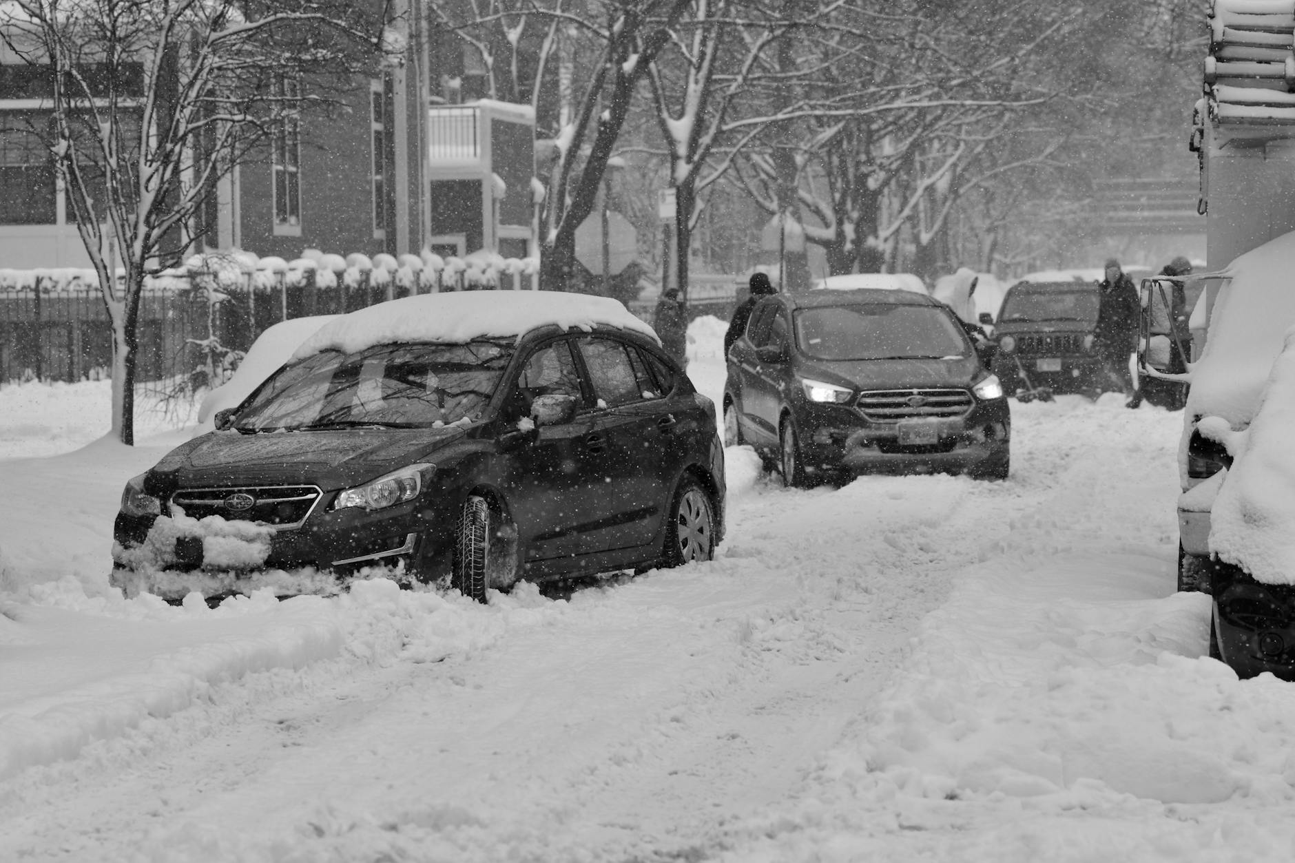
The dramatic temperature swings reflect the transitional nature of late winter weather in the Chicago area, where spring-like conditions can quickly give way to winter weather patterns. Residents should prepare for potentially hazardous driving conditions Saturday evening and Sunday morning if snow develops as forecast.
Local authorities have not issued any travel advisories, but the possibility of slick roads warrants caution for weekend travelers. The combination of fluctuating temperatures around the freezing mark creates conditions where even light precipitation can impact road safety.
The weather pattern demonstrates the unpredictable nature of Chicago’s climate during the transition between winter and spring, when competing air masses can produce rapid changes in temperature and precipitation type within short time periods.